Shared by:oxx78
Written by National Geospatial-intelligence Agency
Edition: 2001
Format(s): PDF
Language: English
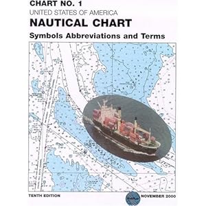
Chart No. 1 contains a description of the symbols, abbreviations and terms that appear on nautical charts produced by the National Imagery and Mapping Agency, the National Ocean Service and the International Hydrographic Organization.
| Announce URL: | http://inferno.demonoid.me:3391/announce |
| This Torrent also has several backup trackers | |
| Tracker: | http://inferno.demonoid.me:3391/announce |
| Tracker: | udp://tracker.openbittorrent.com:80/announce |
| Tracker: | http://tracker.openbittorrent.com/announce |
| Tracker: | udp://tracker.publicbt.com:80/announce |
| Tracker: | http://tracker.publicbt.com:80/announce |
| Info Hash: | e3a3fd0f0878c593da9e5f632791a684f6607020 |
| Creation Date: | Thu, 19 May 2011 06:31:01 -0400 |
| This is a Multifile Torrent | |
| Symbols And Abreviations Used On Admirality Charts Edition 3.pdf 36.46 MBs | |
| US Nautical Chart Symbols Abbreviations and Terms.pdf 35.05 MBs | |
| Symbols And Abreviations Used On Admirality Charts Edition 4.pdf 12.4 MBs | |
| NP735. IALA maritime buoyage system, edition 6, 2006.pdf 2.53 MBs | |
| Torrent downloaded from Demonoid.me.txt 46 Bytes | |
| Combined File Size: | 86.44 MBs |
| Piece Size: | 128 KBs |
| Comment: | Nautical Symbols and Abreviations Updated by theebooksbay.com |
| Torrent Encoding: | UTF-8 |
| Seeds: | 86 |
| Peers: | 9 |
| Completed Downloads: | 871 |
| Torrent Download: | Torrent Free Downloads |
| Tips: | Sometimes the torrent health info isn't accurate, so you can download the file and check it out or try the following downloads. |
| Direct Download: | Download Files Now |
| Tips: | You could try out the alternative bittorrent clients. |
| Secured Download: | Start Anonymous Download |
| Ads: |

|


